Routt Recreation and Conservation Roundtable Decision Support Tool
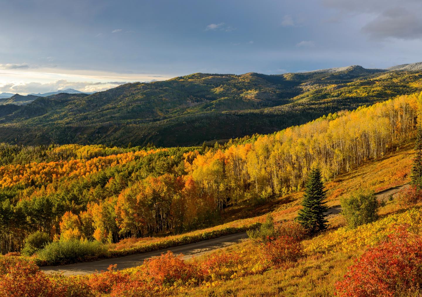
SE Group partnered with the Routt Recreation and Conservation Roundtable to create an innovative decision support tool that helps local land managers and community partners balance recreation growth with conservation priorities across northwest Colorado’s diverse landscapes.

A Landscape of Recreation and Conservation
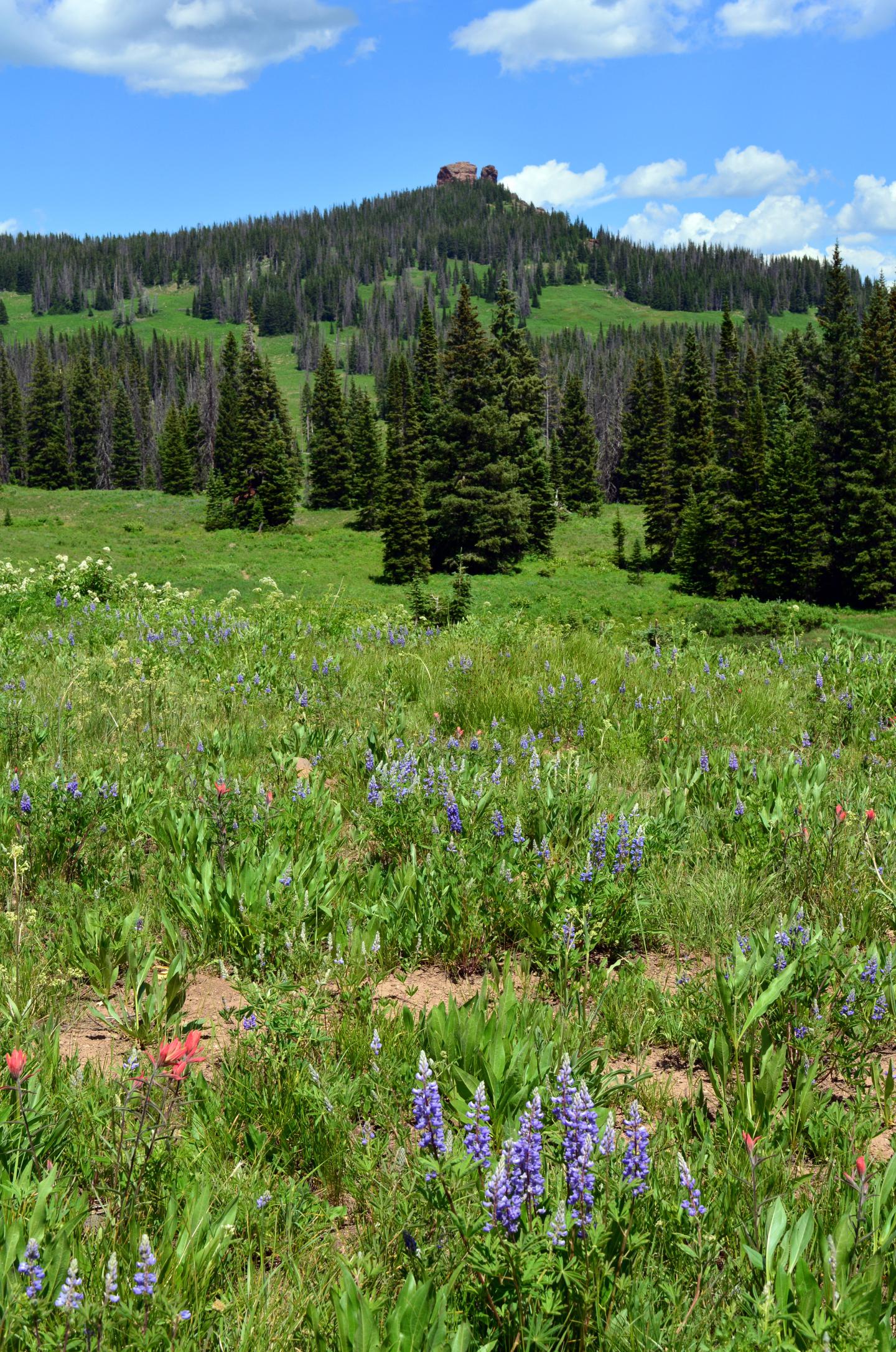
Routt County, home to Steamboat Springs and the surrounding public lands, is known for its incredible variety of outdoor recreation opportunities, from mountain biking and skiing to hiking and wildlife viewing. As the region experiences increasing visitation and land-use pressure, the Routt Recreation and Conservation Roundtable (RRCR) sought a data-driven way to align recreation planning with resource protection and community values.
The Challenge
Land managers and recreation advocates across Routt County needed a shared tool to visualize data, identify sensitive landscapes, and guide future recreation investments. Without a centralized system, decision-making often relied on limited or fragmented datasets, making it difficult to understand how new recreation projects intersect with natural resource values and existing land management designations.
SE Group’s Role
SE Group led the design and development of a GIS-based decision support tool, combining environmental, recreation, and land-use data into an interactive web platform. The team gathered and analyzed extensive datasets from local, state, and federal sources, and conducted stakeholder interviews to understand key priorities and data needs. Using ArcGIS Online, SE Group built a layered mapping system that visualizes recreation opportunities, conservation sensitivities, and potential areas of conflict or opportunity.
Working closely with partners including RRC Associates, Stantec, and the Keystone Policy Center, SE Group created an intuitive, user-friendly interface that supports collaboration between agencies and community members.

Innovation and Collaboration
The Decision Support Tool includes three interactive map layers focused on land management, recreation and disturbance, and natural resources. These resources allow users to evaluate potential recreation areas and explore spatial relationships between access, conservation, and land ownership. The tool was published through a dedicated StoryMap website, providing transparency, education, and ongoing access for decision-makers and the public.
The Impact
The Routt Recreation and Conservation Roundtable Decision Support Tool gives local stakeholders a shared foundation for planning recreation and conservation projects responsibly. By integrating diverse data sources into one accessible platform, SE Group helped create a powerful resource for decision-making that enhances collaboration, transparency, and stewardship across Routt County’s cherished landscapes.
Deliverables
- Interactive web-based Decision Support Tool (ArcGIS Online)
- GIS database and spatial analysis framework
- Three interactive resource maps (land management, recreation and disturbance, natural resources)
- Data and methodology documentation
- Public-facing StoryMap website for community access and learning
Services Provided
- GIS data analysis and mapping
- Recreation and conservation planning
- Stakeholder engagement and facilitation
- Interactive webmap and StoryMap development
- Spatial data visualization and decision-support framework
