The Velomont Vision Plan
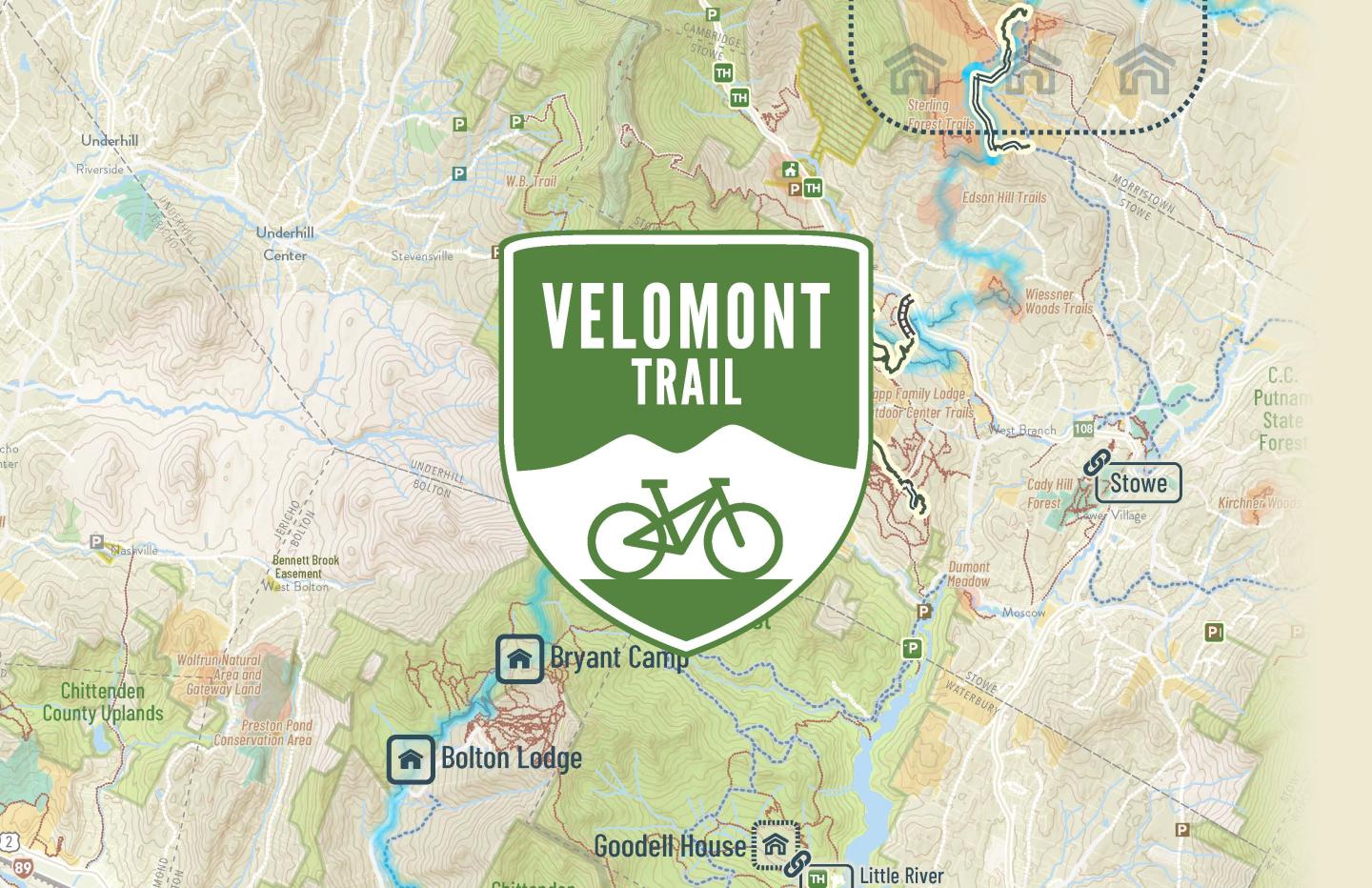
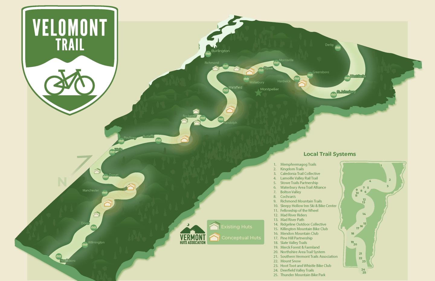
The Velomont Vision Plan illustrates what will become New England's first long distance, hut supported mountain bike trail. Planned to connect 33 town centers through 485 miles of trail, this project will be supported by a network of backcountry huts to create an unprecedented recreational opportunity that directly supports rural town economies across the state of Vermont.
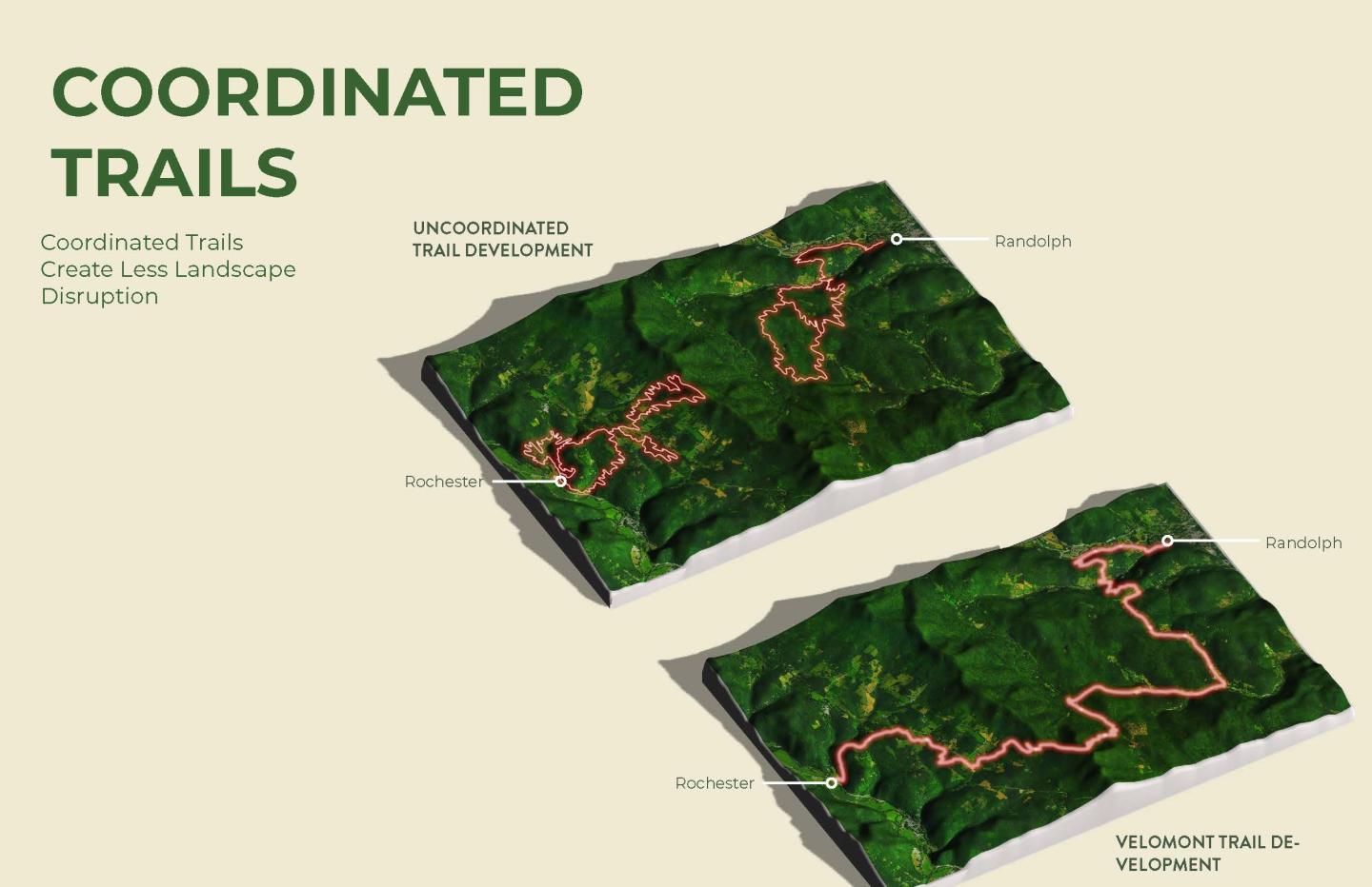
This vision for a long distance singletrack trail across the length of Vermont is more than an opportunity for enhancing the recreational landscape - the Velomont corridor is planned to conserve critical wildlife migration corridors between New England and Nova Scotia. Like the historic precedent of The Long Trail and Pacific Crest Trail, the Velomont will help conserve a contiguous wildlife migration corridor, supporting biodiversity and ecological health for generations to come.
Methodology & Transferability
Building a statewide trail network requires collaboration. Collaboration requires listening and flexibility. This vision plans actively listened to a wide range of community voices to build a vision plan that provides flexible application and clear answers to important questions that will arise as the project moves from vision to reality.
The complexities of planning a trail across the Green Mountain's patchwork of private, conserved, state and federal lands means that this Plan must provide flexibility in implementation. The Vision plan narrows the focus from an entire state down to a specific corridor of opportunity. This corridor was developed by allowing the project to align based on local advocacy and interest in building and maintaining the Velomont. 26 trail stewardship partners worked with state and federal land managers to design Velomont's Corridor of Opportunity which will focus the implementation of this project for years to come.
The Vision plan goes beyond providing a clear corridor of opportunity. The economic, conservation, and public health benefits of a statewide multi use trail are clearly articulated. The project's unique balance between environmental sensitivity and recreational use, and community connection is documented. Alongside these methodologies, detailed wayfinding designs and branding guidance are included to support the establishment of the first phases of the Velomont Trail.
Engagement
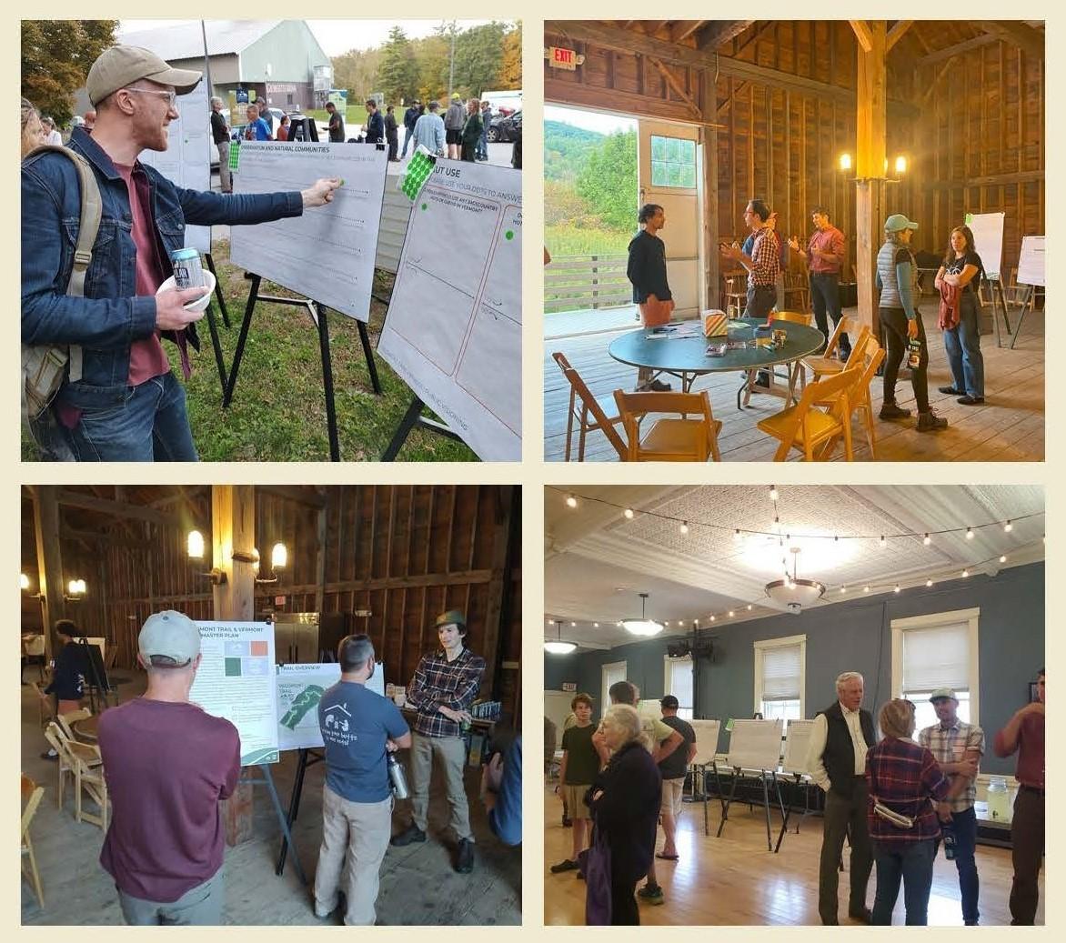
The Velomont Vision plan brought the process directly to Vermonters' backyards. Leveraging the local networks of a 30-person steering committee, this plan began with a listening and engagement tour that took place at trailheads, community centers, and historic barns across the state of Vermont. Engagement included 357 survey responses, 207 attendees at 5 Open Houses held in Richmond, Rutland, Randolph, St. Johnsbury and Dover VT.
This public engagement complimented the direct engagement with state and federal agencies representing 1 national forest and up a network of up to 10 state parks and forests. These public lands will continue to play a crucial role in supporting the development of an interconnected, contagious multi-use trail across the state of Vermont.
Effectiveness & Results
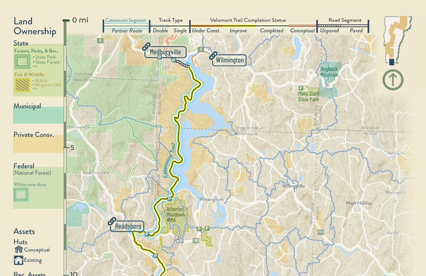
A dedicated collaborative led by Vermont Huts Association, Vermont Mountain Bike Association, and the Catamount Trail Association have worked towards the construction and implementation of this vision for many years preceding this planning process. Within a month, the completed document has resulted in signage and wayfinding for the first 38-mile corridor of the Velomont Trail, known as the Heart of the Greens Loop. The plan has directly supported over $150,000 of grant requests, and it will be directly utilized to support numerous future rounds of state, federal, and philanthropic funding to build a complete Velomont Trail system across the state of Vermont.
